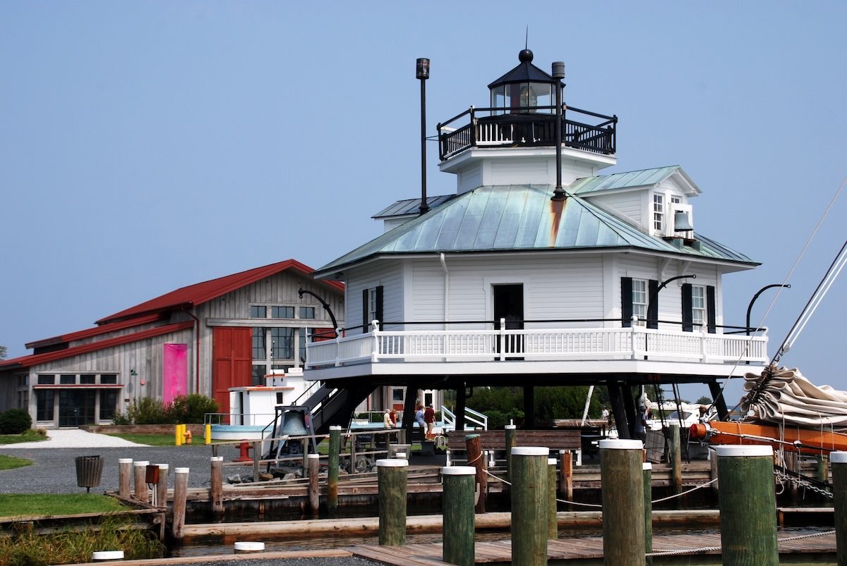
Chesapeake Bay Maritime Museum
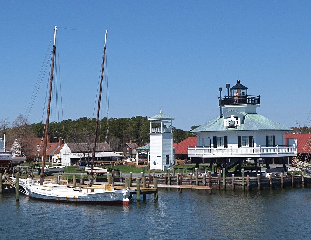
This waterfront campus features exhibits on boat building, local oystering, and regional history.
Walk the boardwalk to see the Hooper Strait Lighthouse.

St. Michaels sits 28 miles east of Annapolis across the Chesapeake Bay Bridge and down the Eastern Shore. The drive takes 45 to 55 minutes under normal conditions, but traffic at the bridge, seasonal tourism, and weekend congestion can add significant time.
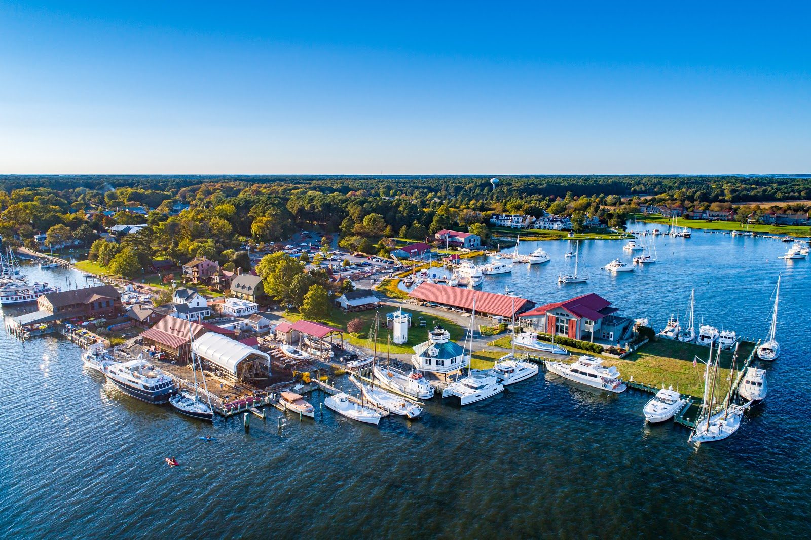
Quick answer
Annapolis and St. Michaels are 28 miles apart via US-50 East and MD-33 South, a drive that typically takes 45 to 55 minutes. The route crosses the Chesapeake Bay Bridge, continues through Queenstown and Easton, then follows MD-33 south to St. Michaels. Summer weekends and Friday afternoons see heavy bridge traffic that can extend the trip to 75 minutes or more.
The Chesapeake Bay Bridge is the single variable that governs every calculation of how far is annapolis from st michaels md. On a Tuesday morning in March, the 28-mile route unfolds in under 50 minutes. On a Saturday in July, the same distance stretches to 90 minutes as westbound beach traffic clogs the bridge's eastbound span and weekend travelers queue at the toll plaza. The Bay Bridge carries US-50, the only highway linking Annapolis to the Eastern Shore, and its two spans funnel six lanes of traffic into a chokepoint that defines the rhythm of cross-bay travel. Once past the bridge, US-50 runs flat and fast through Kent Island and Queenstown, then turns southeast toward Easton. At Easton, MD-33 splits south and narrows into a two-lane road that winds through farmland and tidal marshes before entering St. Michaels from the north. This final stretch adds 12 miles and 20 minutes to the journey, but it also marks the transition from highway pace to Eastern Shore time. The road passes working farms, roadside produce stands, and the occasional heron standing motionless in a ditch. The Annapolis to St Michaels distance is short enough for a day trip but long enough that timing matters. Departing Annapolis before 9:00 AM or after 7:00 PM on weekends avoids the worst bridge backups. Midweek travel flows freely in both directions. GPS apps flag real-time delays at the bridge, but they cannot predict the sudden stop-and-go that develops when a single lane closure or fender-bender halts the merge. The alternative is the Oxford-Bellevue Ferry, which crosses the Tred Avon River south of Easton and deposits passengers seven miles from St. Michaels, but the ferry runs seasonally and requires advance planning. St. Michaels rewards the drive. The town occupies a low peninsula where the Miles River meets the Chesapeake, and its compact downtown holds the Chesapeake Bay Maritime Museum, a working harbor, and a row of 18th-century buildings that survived British shelling during the War of 1812. Parking fills early on weekends, especially near Talbot Street and the museum waterfront. Metered spaces and public lots serve the core district, but side streets a block inland offer free alternatives. The optimal arrival window runs from 9:00 AM to 5:00 PM, when museums, shops, and waterfront trails operate at full capacity.
“The Bay Bridge is the single variable that governs every calculation of travel time between Annapolis and St. Michaels.”
St. Michaels is located on the Eastern Shore of Maryland, approximately 45 miles from Annapolis. The most common route involves traveling east across the Chesapeake Bay Bridge.
US-50 E to MD-404 E and MD-33 W
Annapolis Harbor to St. Michaels Harbor
When driving, plan for potential traffic delays at the Chesapeake Bay Bridge, especially during weekend peak hours. Aim to arrive during the best arrival window of 09:00–17:00 to ensure smooth access to town parking and local facilities.
To make the most of your trip from Annapolis, plan your arrival for the best arrival window of 09:00–17:00. This timeframe provides optimal access for walking tours, museum visits, and boutique shopping.
Mild temperatures, 60–75°F
Gardens are in bloom and outdoor activities are comfortable.
Warm to humid, 80–90°F
Expect higher activity levels near the waterfront and in town centers.
Cooler, crisp, 60–75°F
This season offers steady weather for walking through the historic district.
—
Arriving early helps you navigate local shops and town sites before afternoon visitors increase.
Verdict: The best time to visit is Tuesday to Thursday between 09:00 and 17:00 during the months of April, May, September, or October.
The town of St. Michaels is accessible to visitors daily. Travelers planning their itinerary should note that the town remains open around the clock.
Once you arrive in St. Michaels, the town offers several points of interest that highlight its maritime heritage and historic architecture. These landmarks provide a concentrated look at the culture of the Chesapeake Bay.
This waterfront campus features exhibits on boat building, local oystering, and regional history.
Walk the boardwalk to see the Hooper Strait Lighthouse.
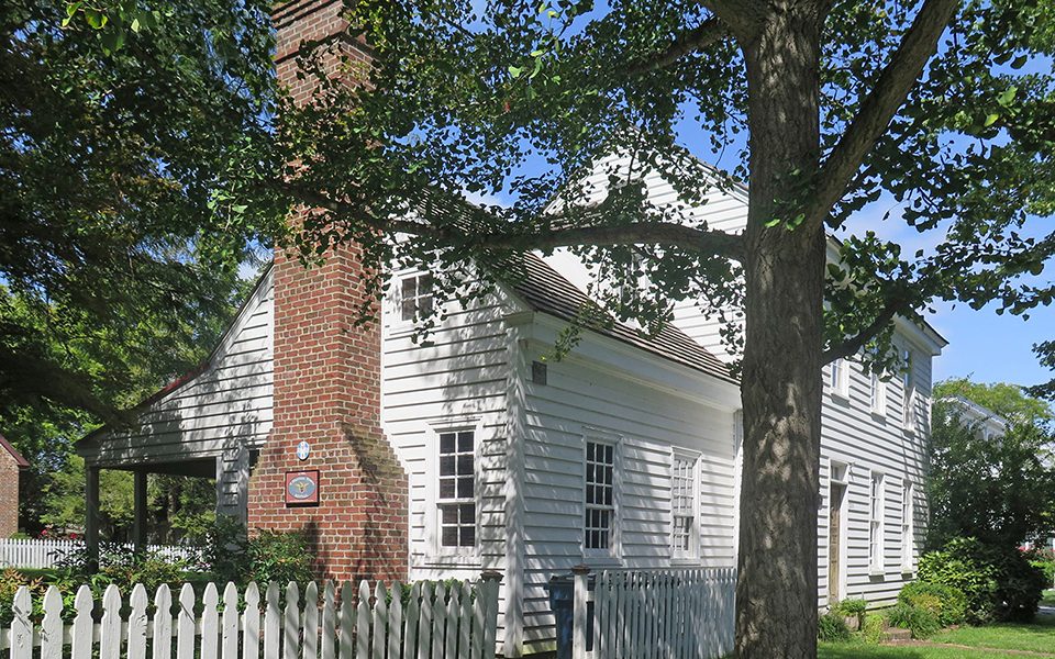
The town center contains well-preserved buildings from the 18th and 19th centuries along Talbot Street.
Walk the side streets to observe original historic architecture.
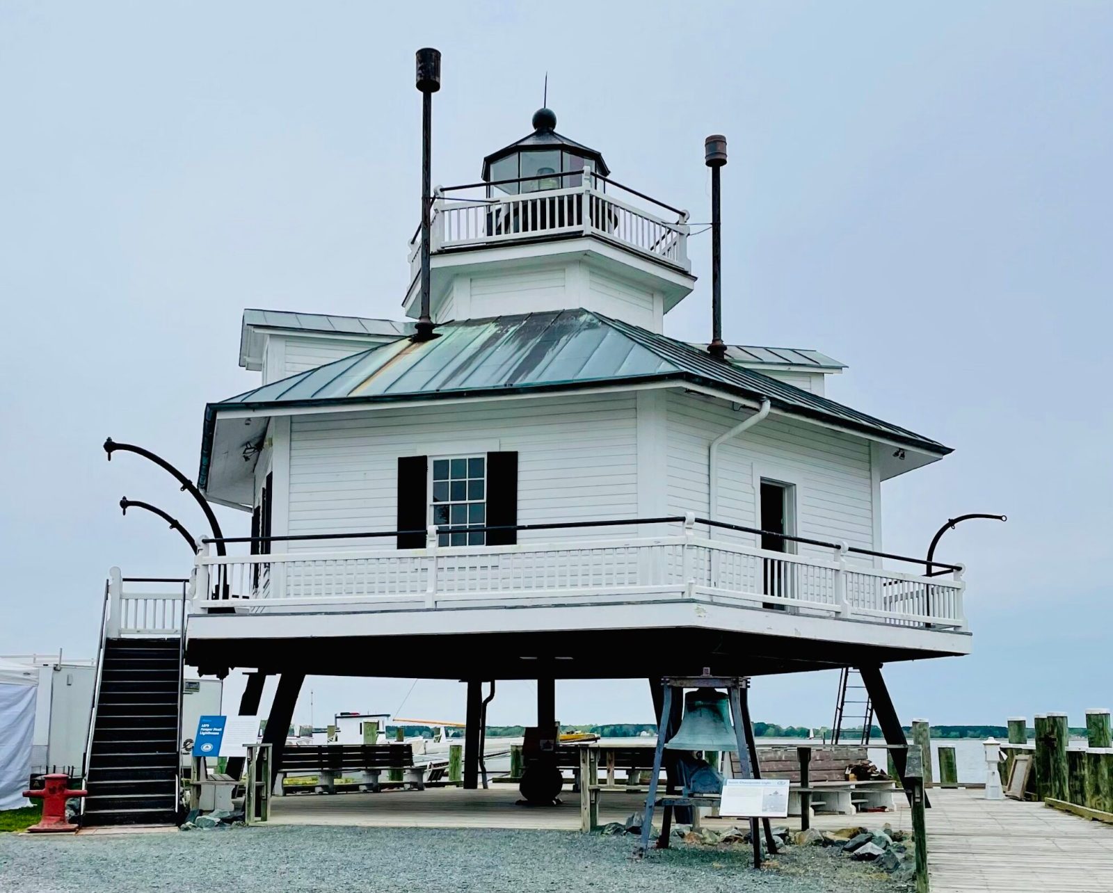
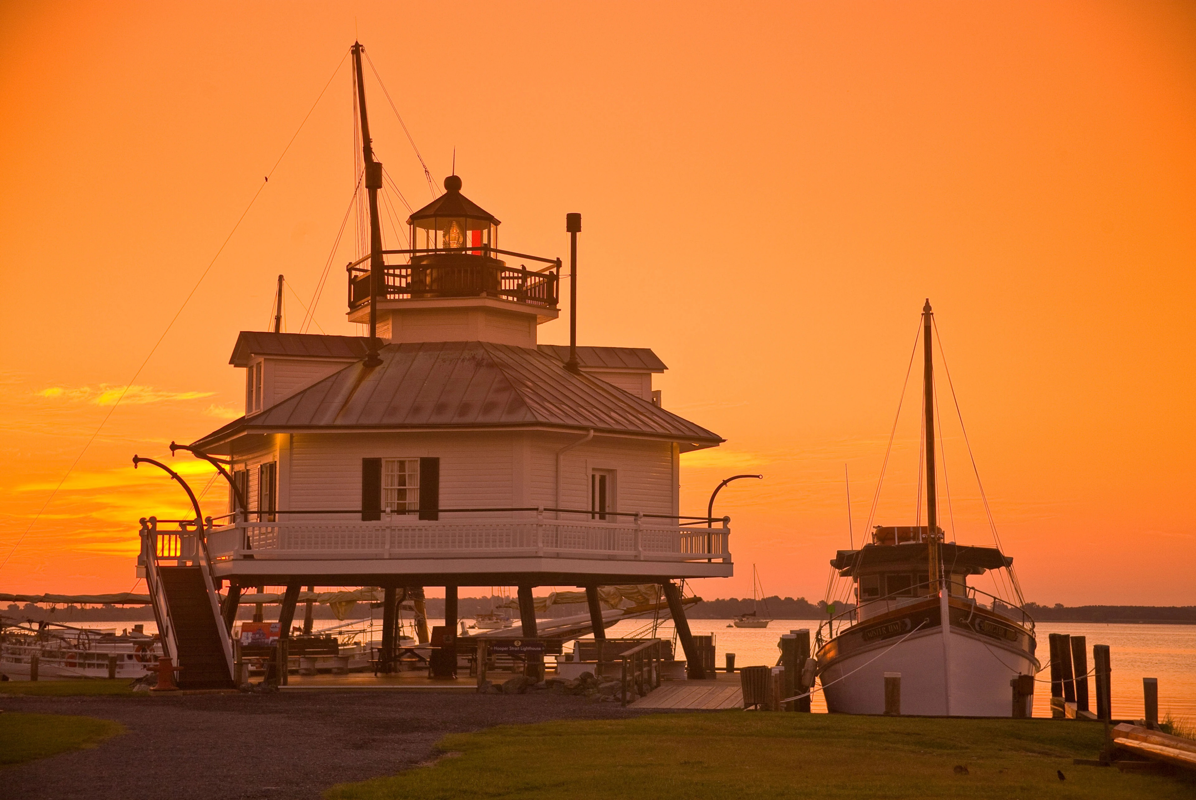
Relocated to the museum grounds, this screwpile lighthouse is a recognizable symbol of the region.
Climb the stairs for a view over the Miles River.
This area offers expansive views of the Miles River and serves as a focal point for maritime activities.
Stand near the shoreline during sunset for water views.
Visitors extending their stay on the Eastern Shore can explore these nearby points of interest. These locations complement the coastal character of St. Michaels and are easily accessible for those spending additional time in the region.
5 min walk
This museum provides context on the maritime history of the Bay, making it a logical stop after arriving by water.
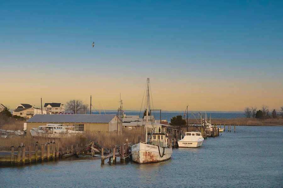
20 min drive
A short drive south reveals a quiet, traditional fishing community that offers a different perspective on local waterman culture.
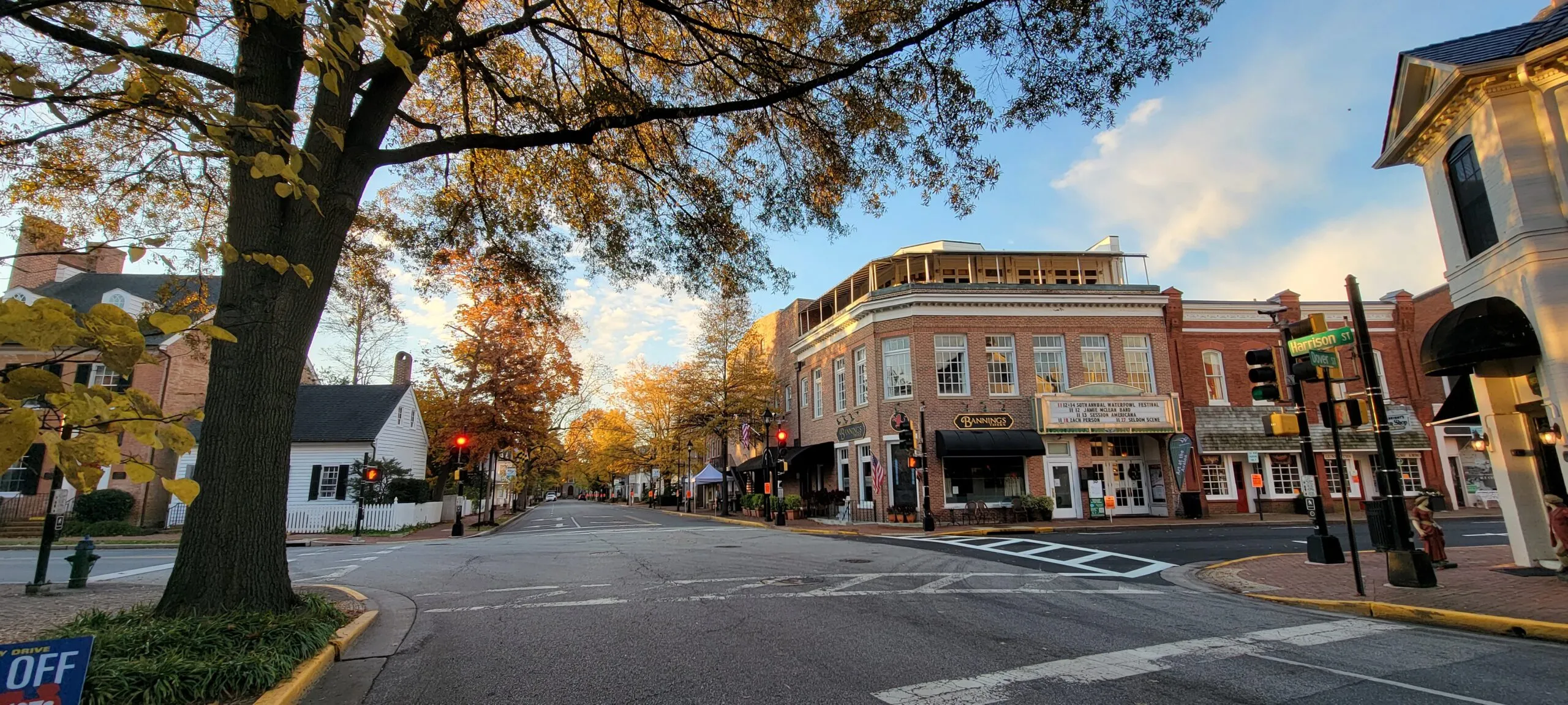
15 min drive
The historic town of Easton features colonial architecture and art galleries, serving as a cultural hub just inland from the water.
Everything you need to know about how far is annapolis from st michaels md
The distance between these two locations by water typically spans approximately 20 to 25 nautical miles across the Chesapeake Bay. This route provides scenic views of the Eastern Shore and the Bay Bridge.
Driving from Annapolis to St. Michaels generally takes about 75 to 90 minutes, depending on traffic conditions and your specific starting point. The route primarily involves traveling across the Chesapeake Bay Bridge and following local roads through the Eastern Shore.
The optimal season for your journey is during the autumn months when the weather is mild and the crowds have thinned. You can plan your excursion according to the town's accessible nature.
There is 0 USD entrance fee to enter the town of St. Michaels, as it is a public municipality. You are free to explore the streets, harbor area, and local parks without a ticket.
When calculating how far is annapolis from st michaels md for a day trip, most visitors find that the travel time allows for a full day of activities. You can easily depart in the morning and return in the evening.
The best arrival window for your visit is 09:00–17:00. This timeframe provides the most access to walking tours, museum visits, and boutique shopping throughout the town.